Friday evening we drove out to Hood River, OR, where we stayed at a hotel for a last night in a bed and a gear check. Saturday morning, we ate warm breakfast, drove to the Ranger Station in Trout Lake and self-issued climbing permits. By 8:30, we were at the trailhead, which was quite packed with cars. The last mile of the road was quite rough for my Toyota Camry.
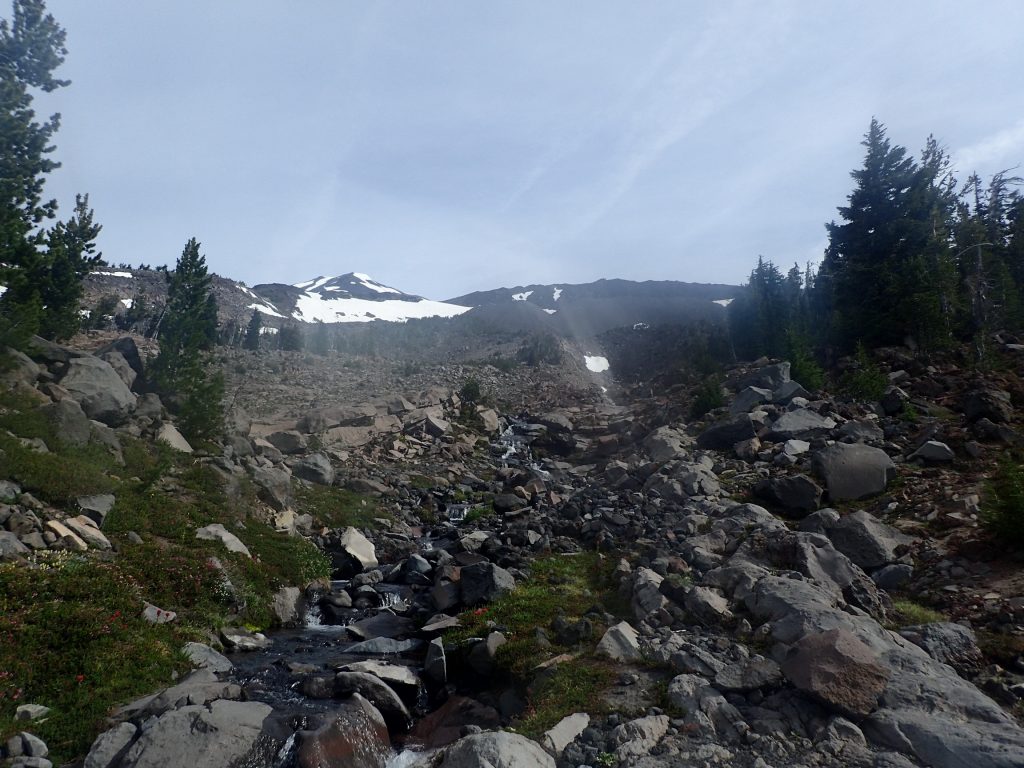
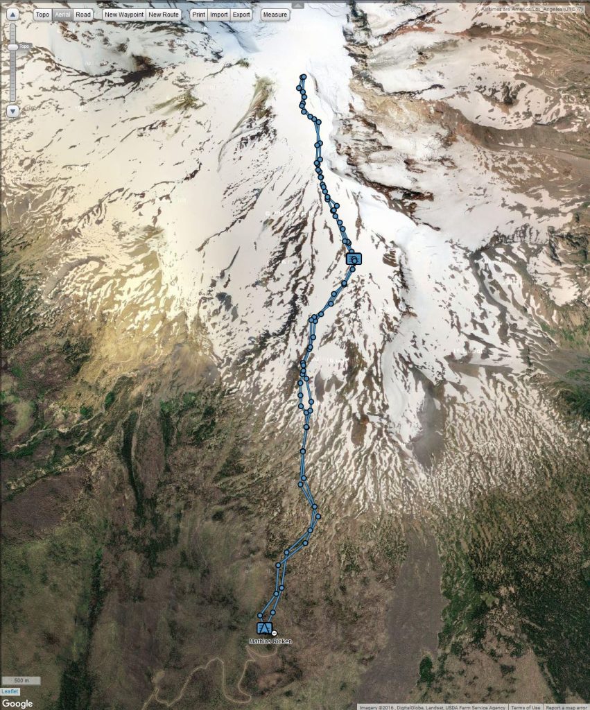
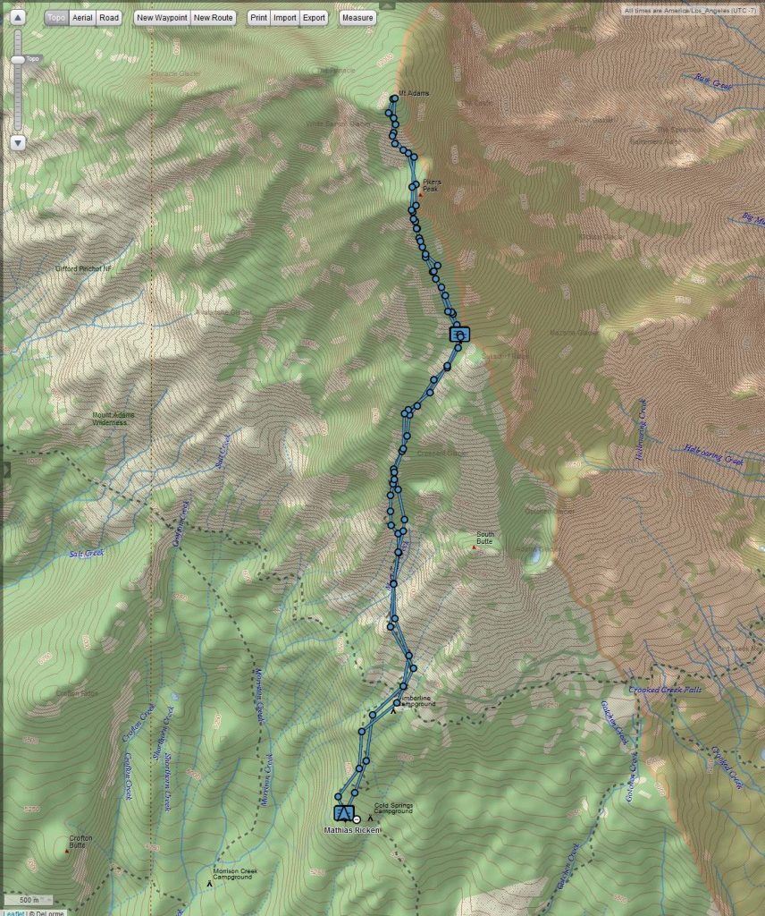
We started hiking on Saturday at about 9 AM and 5500 feet elevation. There was very little shade because of the wildfire last year. We crossed Morrison Creek at about 6800 feet elevation, but weren’t in need of water yet. We just dipped our hats in the water for a quick refreshment. We reached the first bit of contiguous snow at about 7250 feet elevation, at the southern edge of the Crescent Glacier. Since the snow was rather slushy already, we opted to stay on the rocks and do a bit of a scramble to the west instead of ascending directly on the snow.
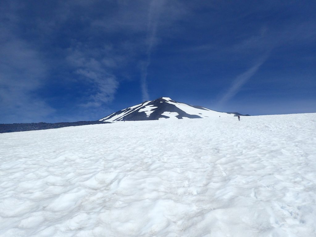
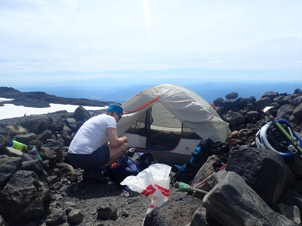
At about 8500 feet elevation, we switched to the snow and more or less angled directly to the waypoint I had set for the Lunch Counter. We got to our camp site just before 1 PM. The camp site was at 9400 feet elevation, which is higher than Jenny had ever been. I had been at slightly above 10000 feet, but only for a few minutes. There were plenty of available camp sites encircled by rock walls, and we picked a fantastic one at the northeastern edge of the Lunch Counter, just feet from running water and the snow field that we would have to ascend at night. We cooked food and rested.
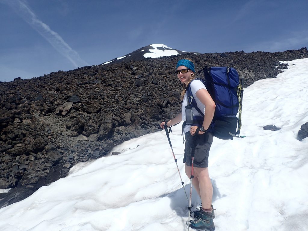
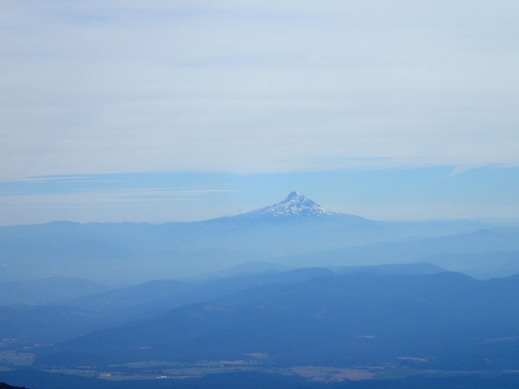
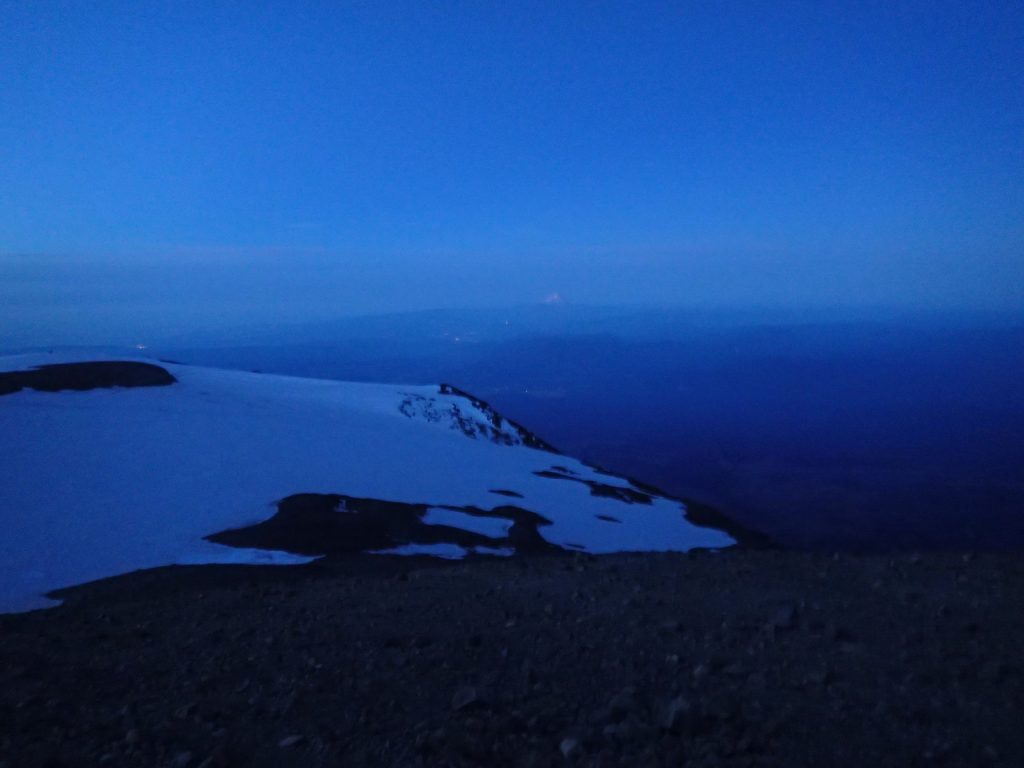
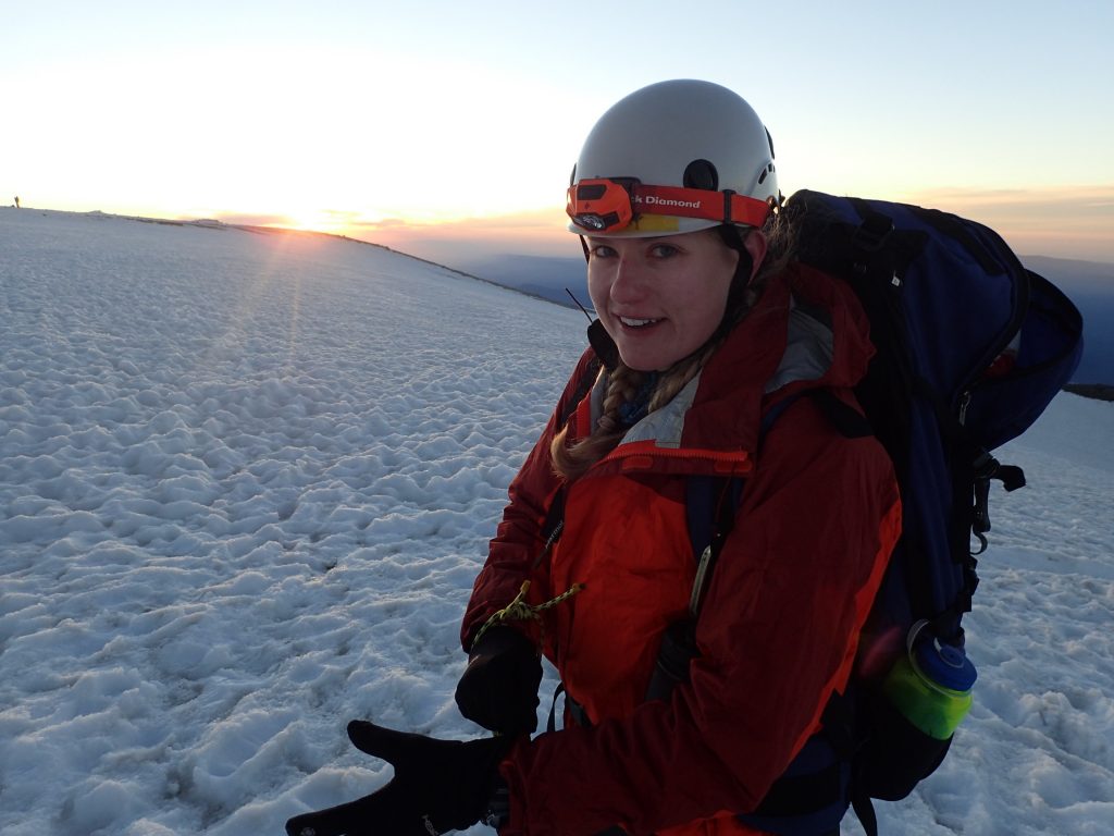
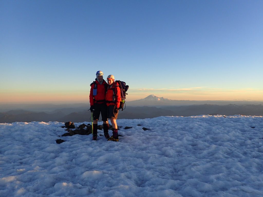
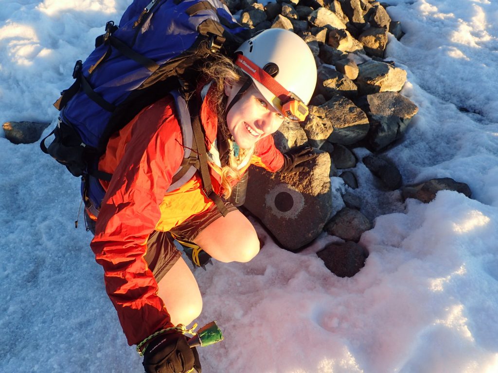
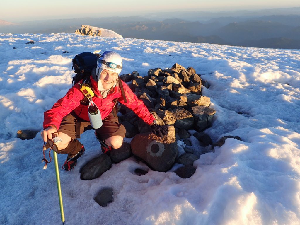
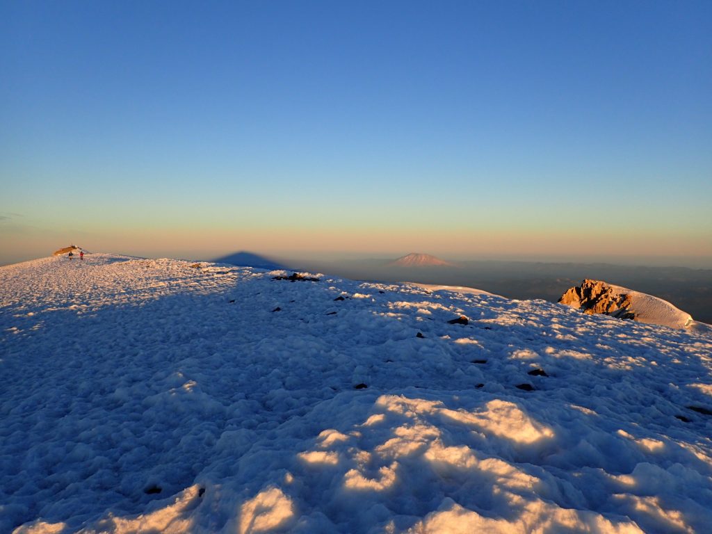
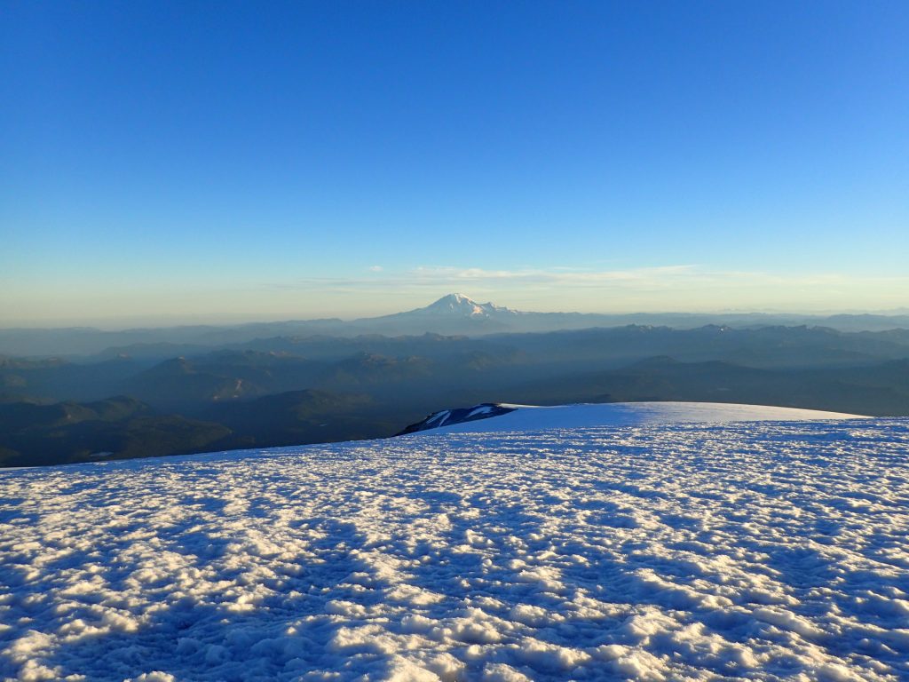
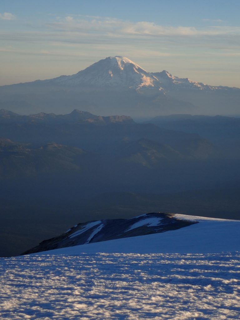
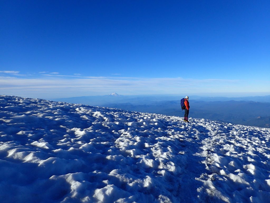
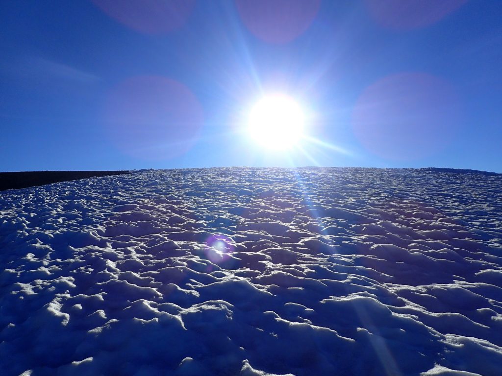
On Sunday morning at 2:30, we started hiking up from our camp site. We left the tent, sleeping bags, and all the other heavy things there, so our backpacks were a lot lighter. We knew we would get hot with the climbing we had to do, so we wore shorts with gaiters — fashionable! It took us a little under four hours to get from 9400 feet to 12280 feet. For the first hour, we hiked in the dark, because we wanted to see the sky and the shooting stars. When it got a bit steeper and the moon had settled behind the mountain, we turned our head lamps on and climbed with light. We got to the summit just at sunrise. It was an unbelievably beautiful moment.
We stayed on the summit for maybe 30 minutes. It was pretty cold, just barely above freezing, but not windy, fortunately. Then we descended. It took us longer than expected, because the snow was so hard that we couldn’t glissade down on it. We tried at one point, a little ways down from the top, where it was safe, but the snow was so hard, we got bruises on our butts. So we had to hike three hours down to camp. The last bit we were able to glissade again. There, we cooked some noodle soup, took a 20 minute nap, and then packed everything up.
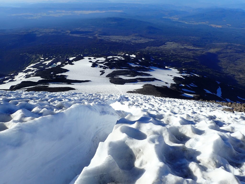
We hiked three more hours with full packs back to the car. Fortunately, we were able to avoid the rock ridge that we scrambled up by glissading down the last 1000 vertical feet of the Crescent Glacier. Note that the main, deep glissade chute was blocked with rocks. Generally, of course, it’s not safe to glissade if you can’t see or know the entire way. We glissaded down the slope a little to the west of the main chute.
It was a wonderful adventure, something I had wanted to do ever since I climbed Mount St. Helens for the first time in 2013.


